Shift history and exports
Every shift a device records is kept, with its path, until your plan's history limit removes the individual points. This page covers finding a past shift, reading its trail, and keeping a copy.
Find a shift
Open the device's page. From the live map, select the device and click Explore full device history. You can also open Devices and pick it from the list.
The Sessions tab lists finished shifts, newest first, with the date, start and end times, duration, number of points and distance. Narrow it with All, Today, Yesterday, Last 7 days or Custom. The shift in progress isn't listed until it ends; to see it, use View current shift trail on the live map.
A shift marked Auto-closed was ended by SpatialFlow after the phone stopped reporting, not by the worker. Its end is the phone's last report rather than a time anyone chose, so don't read its duration as hours worked.
The Events tab lists the device's geofence entries and exits.
Read the trail
Click a shift to open its map. There's a dot at each recorded position. Hover a dot on a computer, or tap it on a phone, to see when that fix was taken and how accurate it was.
A long shift is thinned to 300 points before it's drawn. The shape of the route is still real, but the dots of a thinned trail say "Approximate position (simplified track)" instead of a time, rather than show a made-up one. The export below always has every point.
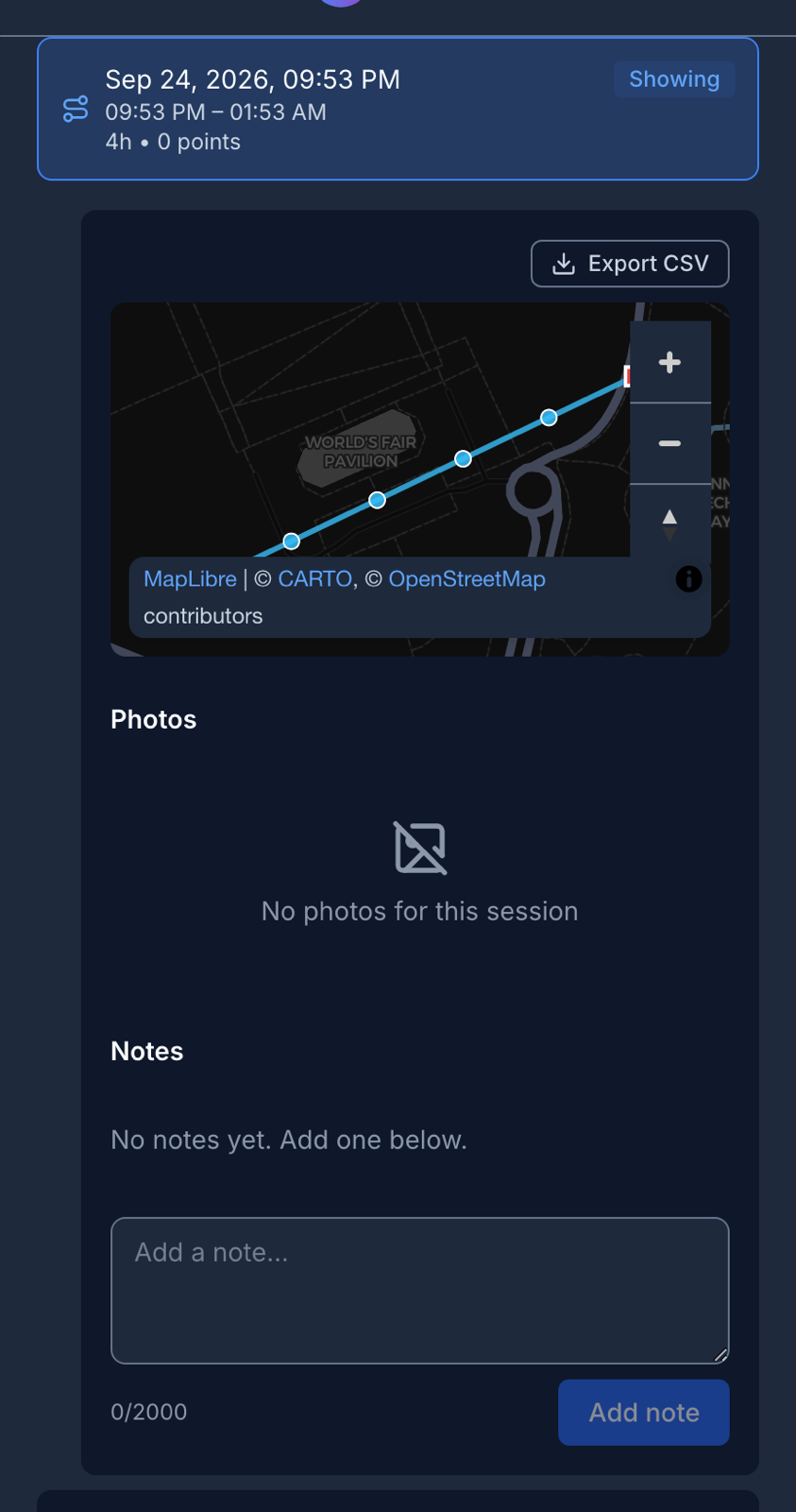
Export a shift
Click Export CSV above a shift's map. The file has one row per recorded point, with its time, latitude, longitude, accuracy, speed and heading. Nothing is thinned or filled in. You can only export a finished shift.
For one row per trip instead of per point, use the Trips report. See Reports.
How far back history goes
Your plan sets how long SpatialFlow keeps individual points:
| Plan | Points kept for |
|---|---|
| Free | 30 days |
| Pro | 90 days |
| Business | 180 days |
| Enterprise | 365 days |
After that the points are deleted, and the shift's trail falls back to a simplified line saved when it ended. You still see the route's shape, distance and duration, but not the time or accuracy of each point, and the export stops working: it says a complete CSV can't be exported for that session. Export anything you may need to quote before it ages out.